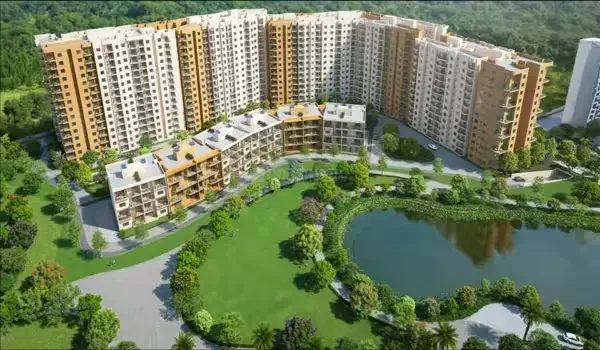
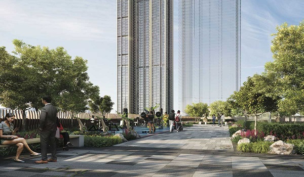
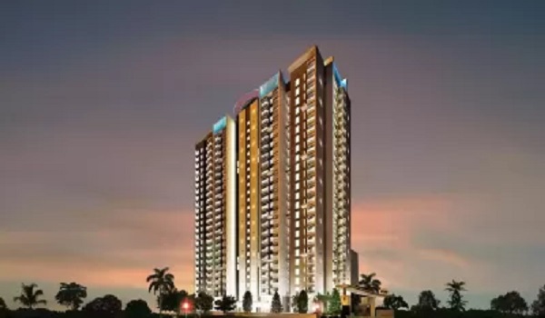
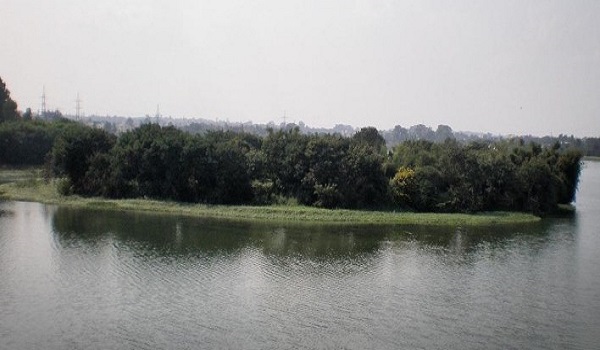
The 2026 land survey confirms the exact land area and project boundaries for Birla Trimaya Phase 4 (The Bay). It is part of the larger 52-acre township in Devanahalli. The project is RERA-approved with registration number PRM/KA/RERA/1250/303/PR/290126/008436. The land covers 7.04 acres and includes four survey numbers: 12/3(P), 15/1(P), 16, and 17(P). The land is legally approved for residential development. It also includes planned features like the 2.5-acre lake and high-rise buildings. These records confirm that the land is clearly defined and legally documented for the project.
Survey Number 12/3(P) – Land Details
For Survey Number 12/3(P), the Birla Trimaya Phase 4 land is a 1-acre 23-gunta private plot that was given as a gift to the owner. The land is fully converted for residential use. It received an official approval (Alienation Order No. ALN(DE.KA)/SR/83/2015-16) from the Deputy Commissioner, Bengaluru Rural, on 17 October 2016. In May 2022, a legal Joint Development Agreement (JDA) was signed at the Devanahalli Sub Registrar Office to allow construction on the entire plot. All digital paperwork is finished, including an E Khatha issued by the local Panchayath in June 2022, proving the land is fully verified and 100% legal.
Survey Number 15/1(P) – Land Details
The land survey for Survey Number 17(P) in Birla Trimaya Phase 4 covers an extent of 2 Acres 12 Guntas. It is classified as Own Land held under a Gift tenure by a single owner. The government (Deputy Commissioner, Bangalore Rural) officially cleared this land for residential use back in April 2016, with the official alienation order (ALN(DE.KA)/SR/106/2014-15). A JDA was signed at the Devanahalli Sub Registrar Office on 11 May 2022. The agreement covers a total of 3 acres and 14 guntas (including karab land). The local Panchayat issued an E Khatha for the land on 17 June 2022. The official records show that a separate sale or gift deed has not been created yet.
Survey Number 16 – Land Details
For Survey Number 16, the Birla Trimaya Phase 4 land is a 1-acre 14-gunta plot that was passed down through inheritance. It was converted through order number ALN(DE)/SR/40/2004-05 by the Deputy Commissioner, Bangalore Rural District, on 19 July 2004. In May 2022, a JDA was signed at the Devanahalli Sub Registrar Office to allow construction on a total of 1 acre and 16 guntas, including the main land and extra karab (buffer) land. All paperwork is done with a digital E Khatha issued by the local Panchayath in June 2022.
Survey Number 17(P) – Land Details
For Survey Number 17(P), the Birla Trimaya Phase 4 land is a 2-acre 12-gunta private plot that was given as a gift to the owner. The official conversion order (ALN(DE.KA)/SR/106/2014-15) was issued by the Deputy Commissioner, Bangalore Rural District, on 15 April 2016. A legal Joint Development Agreement (JDA) was registered for this land in June 2022. The agreement was signed at the Devanahalli Sub Registrar Office on 17 June 2022. The agreement covers 2 Acres 14 Guntas, including the main land and some extra buffer (Karab) land. A digital E-Khatha was issued by the local Panchayath on 17 June 2022, confirming that the land details are officially recorded and updated.